
Perceive
Navigation and detection sensors observe terrain, obstacles and the target environment. Their fields of view and sample inlets are protected from platform interference.
Autonomous sensing places detection payloads on uncrewed air, ground or marine platforms so measurements can reach hazardous, remote or repetitive environments. The platform joins perception, navigation, mission control and communications while keeping people at an appropriate stand-off distance.
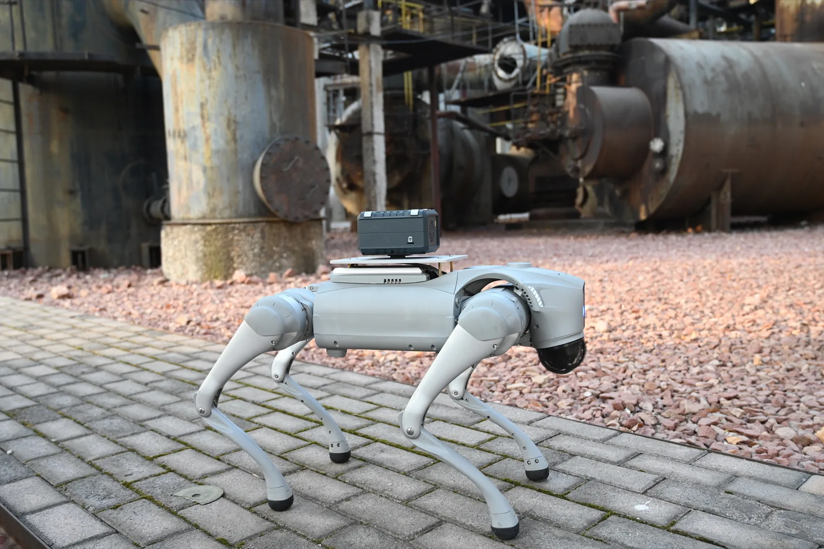
Unmanned technology refers to the utilization of advanced automation and intelligence technologies to enable devices or systems to perform various tasks and operations without the need for direct human control. These technologies typically include artificial intelligence, machine learning, sensor technology, autonomous navigation, and control systems, allowing devices to perceive the environment, make decisions, and execute tasks.
The primary application areas of unmanned technology include aerospace, land transportation, marine exploration, industrial production, healthcare, and environmental monitoring, among others. For example, the development and application of unmanned aerial vehicles (UAVs), or drones, have become a significant field within unmanned technology.
These technologies can be equipped with various sensors to achieve a wider range of applications. These sensors may include cameras, gas sensors, LiDAR sensors, infrared sensors, weather sensors, biological sensors, etc., used for environmental perception, data collection, and task execution. For instance, drones can be equipped with cameras, gas and infrared sensors for aerial photography, surveillance, and fire detection; autonomous vehicles can be equipped with LiDAR sensors and ultrasonic sensors for environment perception and obstacle avoidance; unmanned underwater vehicles can be equipped with sonar and water quality sensors for marine surveying and water quality monitoring. The advantage of unmanned technology equipped with sensors lies in its ability to enhance environmental awareness, improve data collection efficiency, and enhance task execution accuracy while reducing reliance on human resources and operational risks, thus providing more efficient and safer solutions across various fields.
An autonomous platform repeatedly senses its surroundings, estimates its own position and state, plans a safe path and commands its actuators. Detection payloads add mission-specific measurements - such as gas, radiation, biological aerosol or imaging data - to that navigation loop.
Onboard processing can trigger route changes, hold position over an area of interest or increase sampling when an anomaly appears. The platform sends measurements, location, health and confidence information to the control station so a human operator retains awareness and can intervene according to the approved operating concept.
Payload and vehicle cannot be engineered separately. Mass, power, vibration, airflow, electromagnetic compatibility, data bandwidth and sampling geometry affect both measurement quality and flight or driving endurance. Safe behaviour under lost communications, degraded positioning and sensor failure must be defined before deployment.
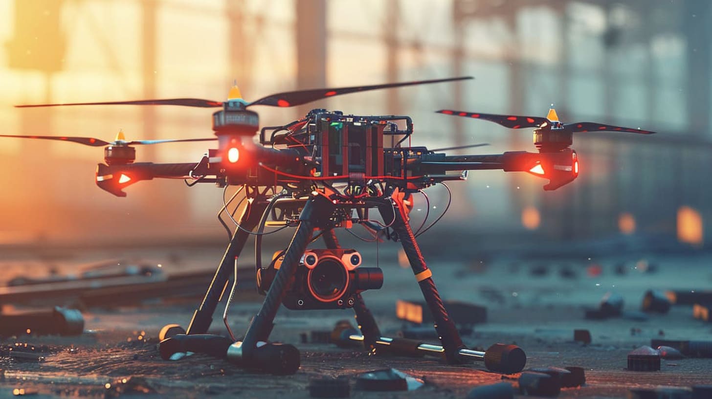
Autonomy extends the operator’s reach, but authority, health monitoring and fail-safe behaviour remain visible throughout the mission.
Navigation and detection sensors observe terrain, obstacles and the target environment. Their fields of view and sample inlets are protected from platform interference.
The platform estimates position, orientation and motion from available navigation sources. Confidence monitoring reveals when satellite, map or inertial data becomes unreliable.
Mission rules select a safe route, sampling pattern or stand-off position. New detections can reprioritise the plan within predefined limits.
Measurements are paired with time, position and platform health before transmission. The control station receives an operational map rather than an isolated sensor value.
A successful autonomous deployment balances sensor performance, platform limits, communications and the level of authority assigned to the machine.
Airflow, vibration, heat and electromagnetic noise can distort a sensitive measurement. Mechanical and electrical integration must preserve the detector’s validated sampling conditions.
Bandwidth and range vary with terrain and infrastructure. Local buffering, prioritised alerts and defined lost-link behaviour keep the mission controlled during interruption.
Autonomy boundaries should match risk, regulation and operator competence. Override, geofencing, return-to-safe-state and audit records make responsibility explicit.
Drones can carry various types of sensors, including cameras, infrared cameras, thermal imagers, LiDAR, meteorological sensors, etc., enabling diverse monitoring and detection of ground, water, and aerial targets. This diversity in monitoring capabilities allows drones to be applied in multiple fields such as agriculture, environmental monitoring, disaster assessment, security surveillance, etc
Drones possess flexible maneuverability and operability, allowing rapid deployment to many areas while remaining subject to terrain, weather, endurance, positioning, communications and regulatory limits. They can move flexibly in both vertical and horizontal directions, enabling coverage of large areas and precise monitoring in complex environments
Compared to traditional monitoring methods, drones equipped with sensors offer higher efficiency and cost-effectiveness. Drones can quickly complete monitoring tasks, saving human and material resources while reducing monitoring costs. Moreover, they can execute tasks in hazardous or hard-to-reach areas, reducing risks to personnel
Drones can acquire data collected by sensors in real-time and transmit it via data links to ground stations or control centers for real-time monitoring and analysis. This real-time data acquisition capability enables decision-makers to promptly understand the situation in the target area and make quick responses and adjustments
Drone payloads are selected for the detection task, carrying chemical, radiological or biological sensors at the sensitivity the mission requires, allowing them to capture clear, detailed images and data. This high-resolution imagery and data facilitate precise analysis of target area characteristics and changes, enhancing monitoring accuracy and reliability
Tell us about your environment, target substances and operational requirements. We’ll help map the right path.
Start a conversation