01HT-Vision
View 01
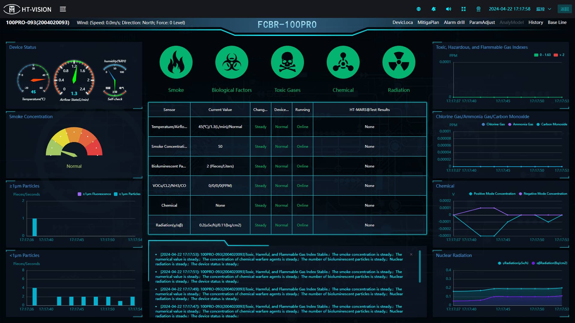
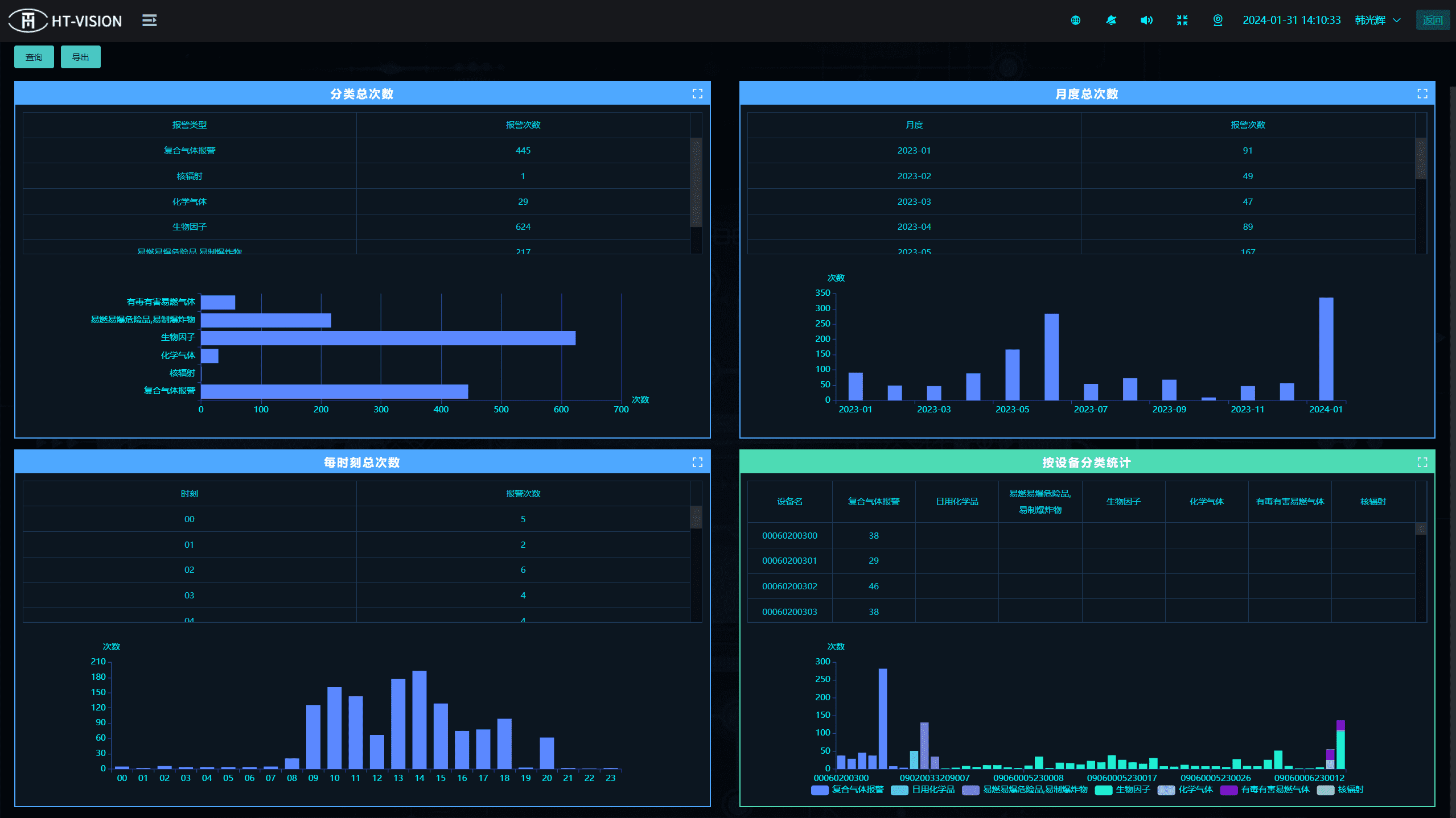
HT-Vision is an integrated cloud-based CBRNE monitoring platform. It connects a network of IoT sensors and detectors, processes their data in real time, and turns it into area security monitoring, reports and suggested actions to support decision-making during an incident.
Individual detectors answer local questions. A protected site with many detectors across it faces a different problem: making one coherent picture out of many streams, quickly enough to act on. HT-Vision is the layer that does this, collecting encrypted data from a sensor and detector network at scale and presenting it through a centralised cloud command centre.
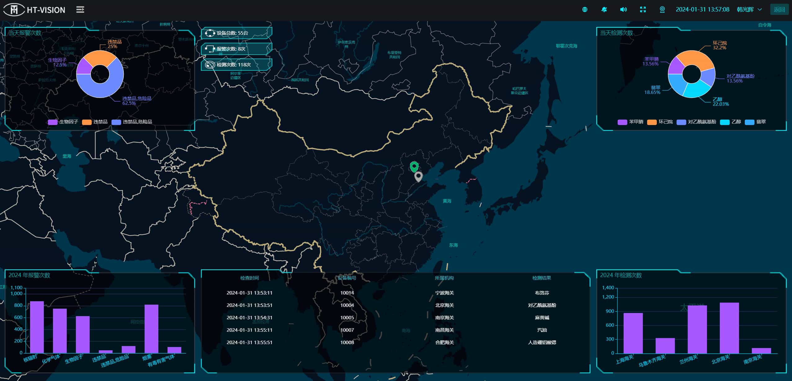
What it produces is intended for decisions rather than inspection. Sensor data, threat indicators and maps are visualised together, and when an incident occurs the platform analyses local environment and geographic data to forecast the expected impact range and suggest evacuation procedures - the questions a commander has to answer immediately.
The same model supports preparation as well as response. Threat scenarios can be simulated on the platform for training, so teams can rehearse against a representation of their own site and sensor coverage rather than a generic exercise.
View 01
View 02
View 03
Internet of Things enabled sensor/detector network, allowing for the collection of significant volumes of encrypted data
Centralised cloud and integrated command centre for authorities to visually monitor areas for threats and to co-ordinate necessary response actions (control panel)
In the event of an incident, able to forecast the expected impact geographical range and suggest suitable evacuation procedures through analysing local environment and geographical information
HT-Vision's cloud-based operating system/command centre allows for the clear visualisation of sensor data, threat indicators, real-time maps and geography information and much more
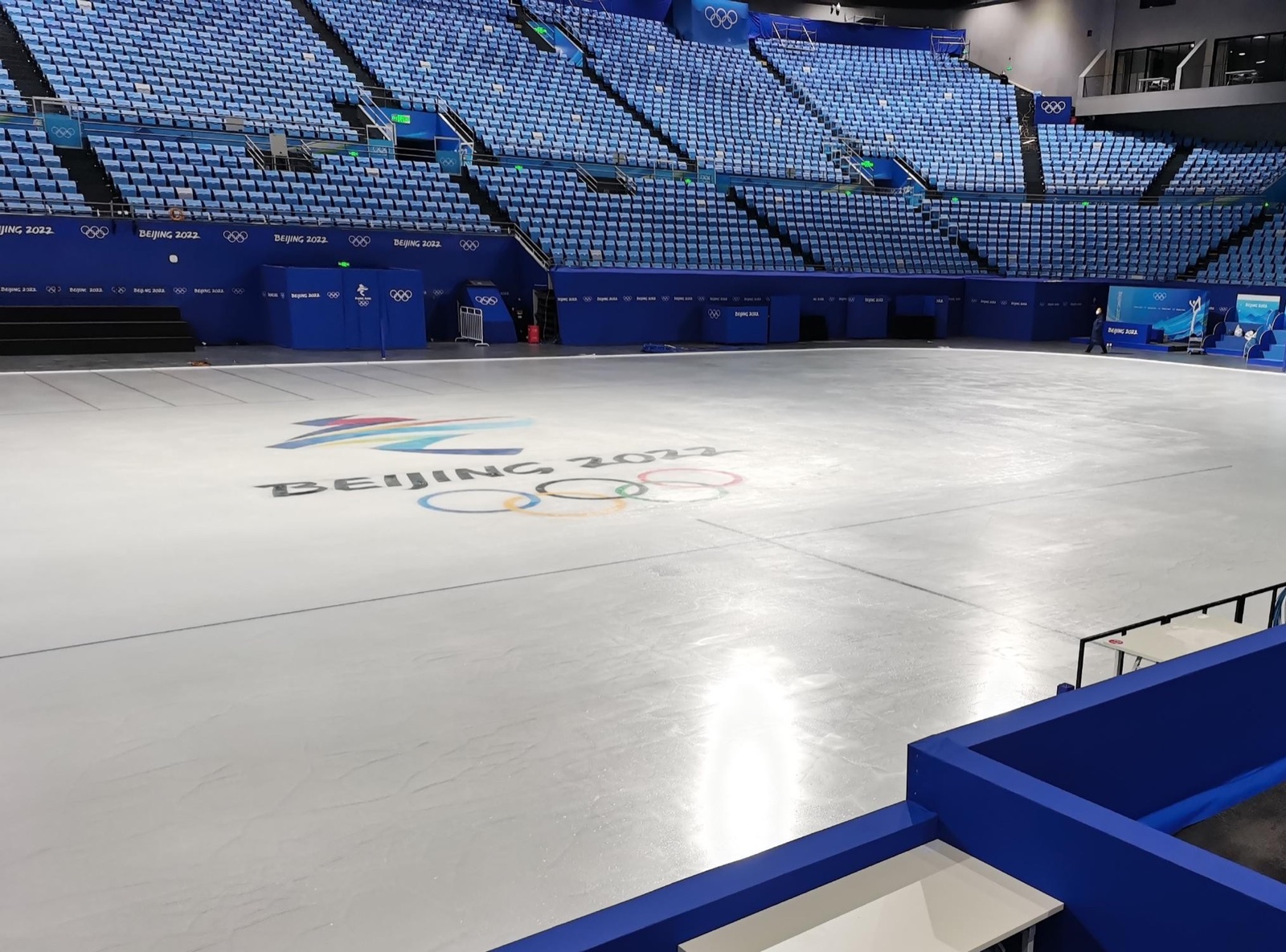
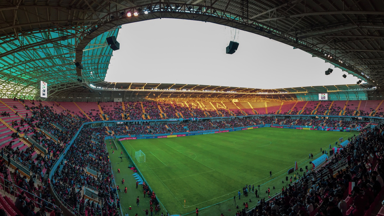
An illustrative operating scenario for layered CBRNE screening, monitoring and coordination at a major international event. HT-Nova equipment has supported detection operations associated with major events in China.
↗︎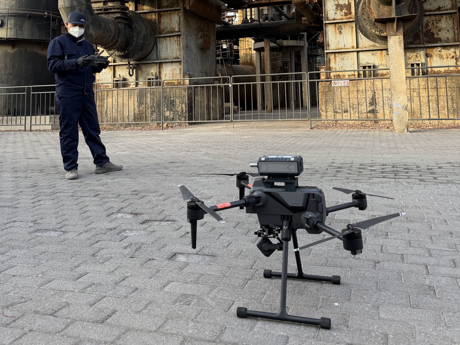
An illustrative scenario showing how an unmanned aircraft, detection payloads, communications and mapping can support initial CBRN reconnaissance while operators remain outside a potential hazard area.
↗︎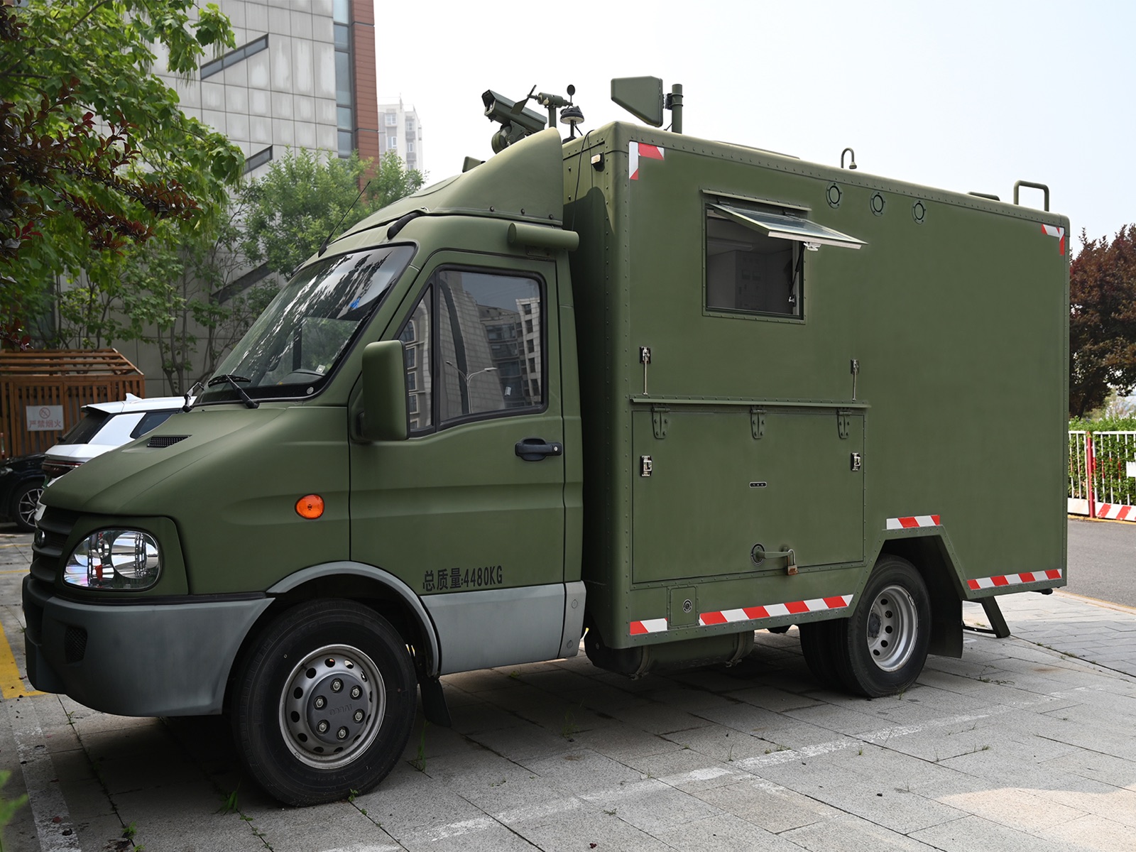
An illustrative scenario for a mobile CBRN reconnaissance and command platform that connects field sensing, communications, coordination and a shared operating picture.
↗︎
Protection of important locations combines site-specific risk assessment, layered sensing, trained response and sustained readiness across critical infrastructure and high-consequence venues.
↗︎Tell us about your environment, target substances and operational requirements. We’ll help map the right path.
Start a conversation