
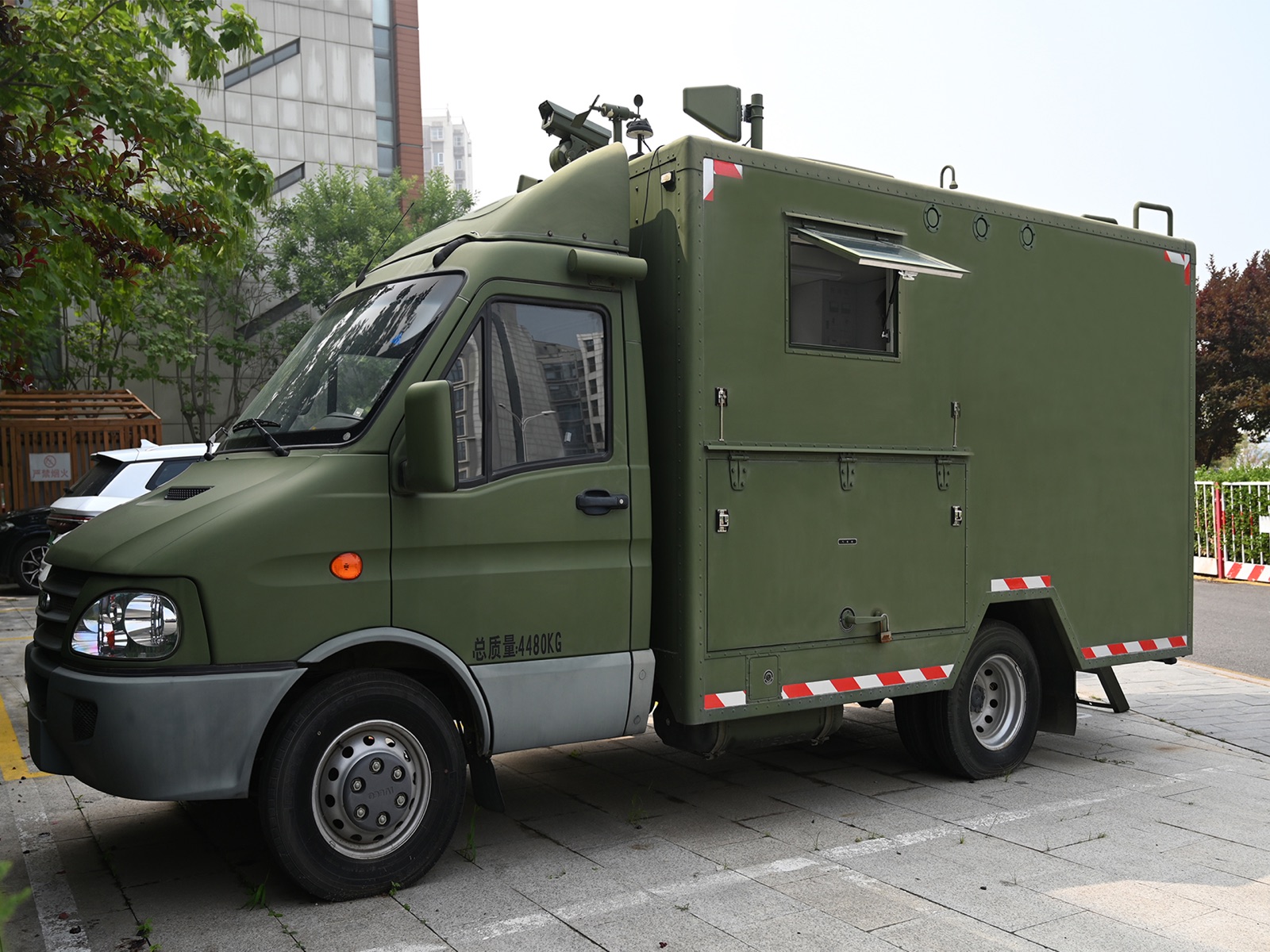
Large-scale CBRN incidents can require multiple detection technologies working across a wide area. Individual instruments provide important measurements, but commanders also need a consolidated view of what field teams are observing and where resources are being deployed.
This illustrative operating scenario combines a mobile command platform with portable instruments, unmanned aircraft, ground systems and connected sensing. It shows how field information can be returned to the responsible command structure to support assessment and coordinated response, rather than treating a vehicle as a standalone product.